Add your promotional text...
Contact us at: 970-303-9299
Efficient data collection for improved communication and effective decision making.


AeroSite Analytics is with you from pre-planning site inspection, on-going progress monitoring to final completion.
ASA is there every step of the way.
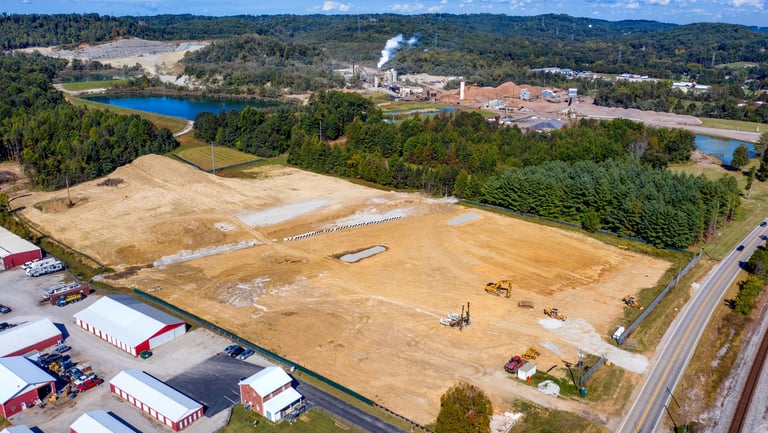
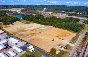
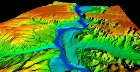
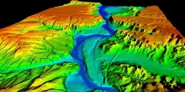
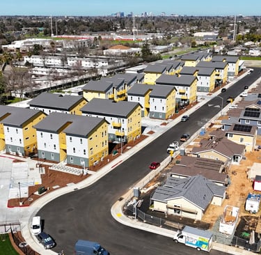
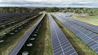
Topographical mapping with ground contours and DTM (Digital Terrain Models) to show natural irrigation and used for clear & fill earthwork estimations. We provide more up-to-date information with greater detail than any online satellite imaging.
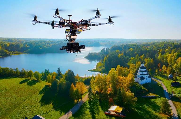
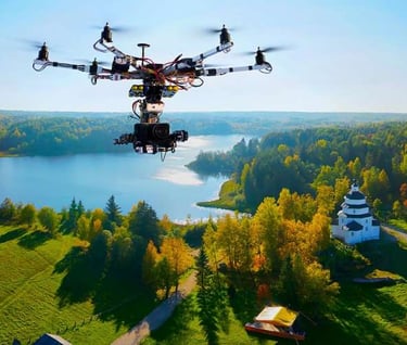
FAA Part 107 and CDPS UAS Pilot Certified and Insured
Through all phases of progress.
Turning Complex Sites Into Clear Decisions
Modern construction, land development, and infrastructure projects move fast—but the information guiding them often doesn’t.
Project managers, engineers, developers, and inspectors are frequently forced to make high-cost decisions using:
Outdated surveys
Incomplete site visibility
Manual measurements
Time-consuming site visits
Fragmented photo documentation
These gaps lead to cost overruns, rework, safety risks, and delayed timelines—especially on large, remote, or evolving sites.
AeroSite Analytics exists to eliminate those blind spots.
We deliver accurate, current, and visually intuitive site intelligence—so you can make confident decisions without guesswork.
Using professional drone platforms, advanced sensors, and industry-grade data processing, we provide:
Survey-ready mapping
Actionable measurements
Objective progress documentation
Clear visual records for teams, stakeholders, and regulators
All without disrupting your operations or slowing your schedule.
How We Solve It
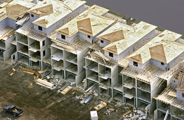
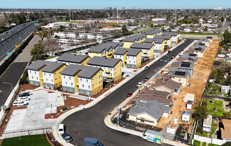
1. Capture the Entire Site—Precisely
We deploy FAA-certified pilots and enterprise-level drone systems to collect high-resolution visual, thermal, and geospatial data across your site.
This includes:
Ultra-high-definition photo and video inspection
RTK-assisted mapping for centimeter-level accuracy
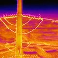
Thermal data for heat loss, moisture intrusion, and system anomalies
No scaffolding. No shutdowns. No guesswork.
2. Transform Data Into Usable Intelligence
Raw imagery is only the beginning.
We process collected data into clear, measurable, and decision-ready deliverables, including:
Orthomosaic maps
2D and 3D site models
Digital surface and terrain models
Volumetric calculations for earthworks and materials
Side-by-side progress comparisons over time
Each output is designed to be usable by project managers, engineers, inspectors, and stakeholders alike—not just technical specialists.
3. Support Safer, Faster, More Confident Decisions
Our deliverables help teams:
Track construction progress objectively
Verify work completed versus planned
Monitor safety compliance without constant site presence
Reduce rework and costly disputes
Communicate clearly with owners, investors, and regulators
The result: better outcomes, fewer surprises, and stronger documentation at every phase of a project.
AeroSite Analytics specializes in:
High-definition photo & video inspections
High-precision 2D and 3D mapping
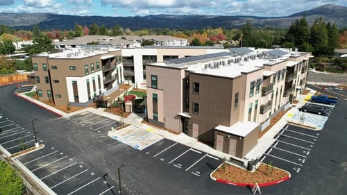
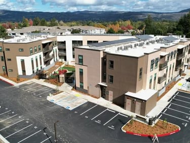
Construction progress & safety monitoring
Earthworks & material volume estimations
Thermal inspections for buildings, infrastructure, and energy systems
All services are delivered as part of Angel Eyes Aerial Solutions, ensuring professional standards, regulatory compliance, and consistent quality.
Built for Real-World Projects
Whether you’re managing a single site or overseeing multiple assets, AeroSite Analytics gives you clarity from above—turning complex environments into understandable, actionable insight.


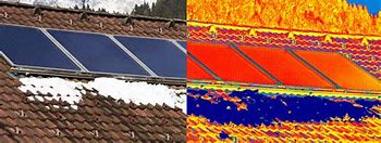


HD Visual and Thermal Inspections
Aerial inspection allows for easy of accessibility, allowing for greater safety and efficiency than putting people into hazardous locations.
Contact Us